Once I got to Pangbourne, I headed off home.
 |
| The Route in Google Earth |
Click on any of the photos below for a 'Light Box' view.
 |
| Our start point - the heart of Goring village |
 |
| Goring Lock |
 |
| Walking along the thames |
 |
| The river bank |
 |
| Passing traffic |
 |
| The Thames Path deviates around this cottage |
 |
| Over a tributary |
 |
| Climbing away from the Thames side now |
 |
| View over the hills |
 |
| I thought a river walk would be flat ! |
 |
| Steps ! |
 |
| Along a road - reaching civilisation |
 |
| The way we came |
 |
| Whitchurch |
 |
| St Mary's |
 |
| Pangbourne Bridge |
 |
| Looking back from the bridge |
 |
| Over the Thames |
 |
| Into Pangbourne |
 |
| Along the Pang |
 |
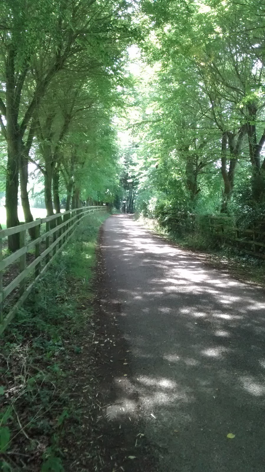
| Up into Sulham Woods |
 |
| It's Harvest Time ! |
More details to be supplied later ...
No comments:
Post a Comment